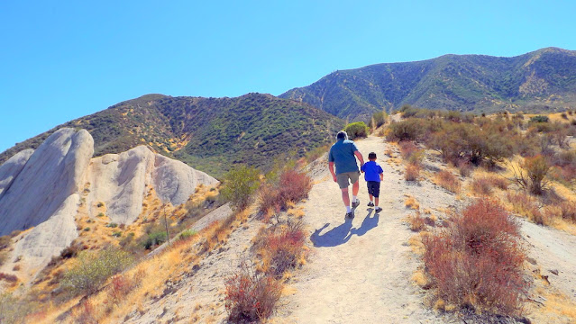
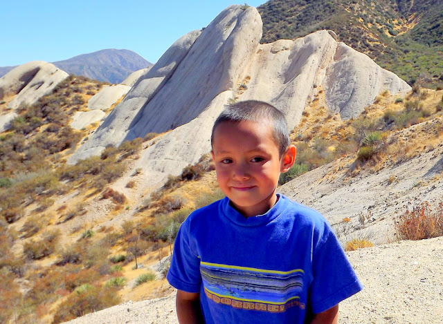
Soon, I hope to go back to this area. It's near the town of Wrightwood in the San Gabriel Mountain Range (different mountain range from where we live how) where we use to live and one day, back in 2012 we took our grandson for a walk around the trail. Every time I run across these photos I know it's time to go back and enjoy this area.
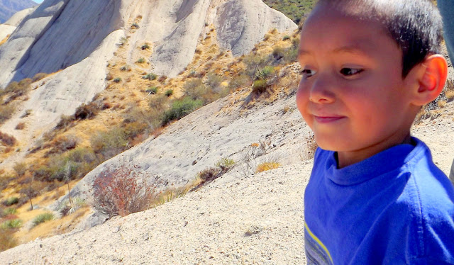
My Grandson Cayden, is now a sophomore - hard to believe ten years has gone so fast.
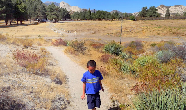
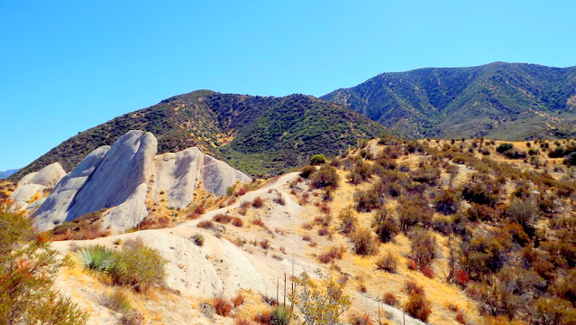
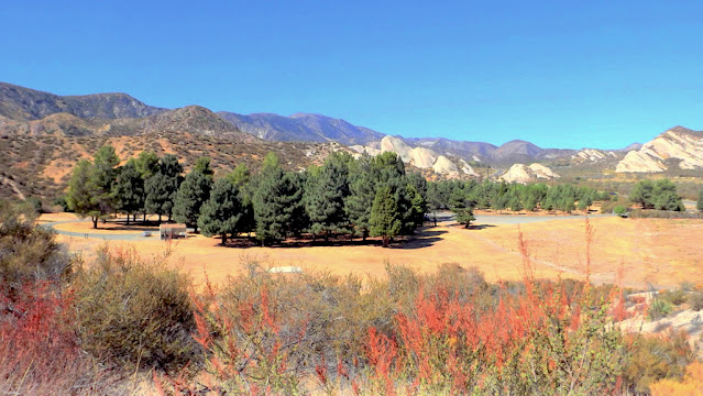
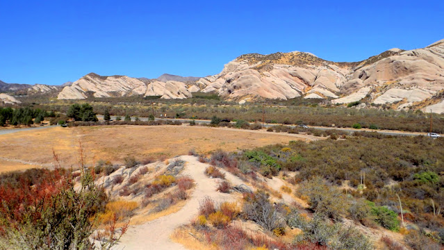
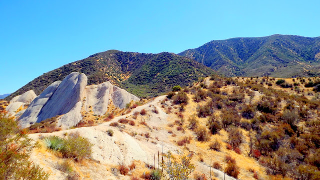
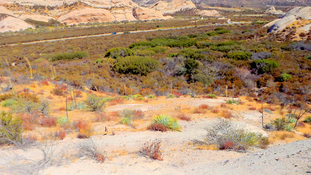
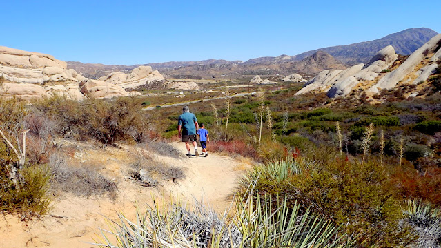
The Mormon Rocks, also known as the Rock Candy Mountains, are Miocene-age sandstone beds of the Cajon Formation. Compression and shearing along the San Andreas Fault have resulted in the tilting and re-exposure of these beds.
Beginning elevation is 3360 feet. This 1-mile loop trail was built by the Forest Service fire engine crew in 1975. It provides visitors with the chance to hike to a ridge to gain great views of the Mormon Rocks. These striking sandstone formations are riddled with small holes and caves; home of the owl, lizard, and pack rat. In the cliffs watch for White-throated Swifts, hawks, and ravens. In the chaparral look for coast horned lizards, California Thrashers, and Western Kingbirds. All along the trail there are excellent views of the Mormon Rocks and Cajon Pass area. An interpretive brochure may be available at the trailhead, or is also obtainable at the Lytle Creek Ranger Station