We went down to Redlands the other day and I passed by a favorite house of mine. I think four photos is enough - however, if they let me in their back yard and possibly in their house, I could get even more photos.


We went down to Redlands the other day and I passed by a favorite house of mine. I think four photos is enough - however, if they let me in their back yard and possibly in their house, I could get even more photos.
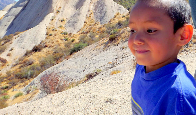
Soon, I hope to go back to this area. It's near the town of Wrightwood in the San Gabriel Mountain Range (different mountain range from where we live how) where we use to live and one day, back in 2012 we took our grandson for a walk around the trail. Every time I run across these photos I know it's time to go back and enjoy this area.
My Grandson Cayden, is now a sophomore - hard to believe ten years has gone so fast.
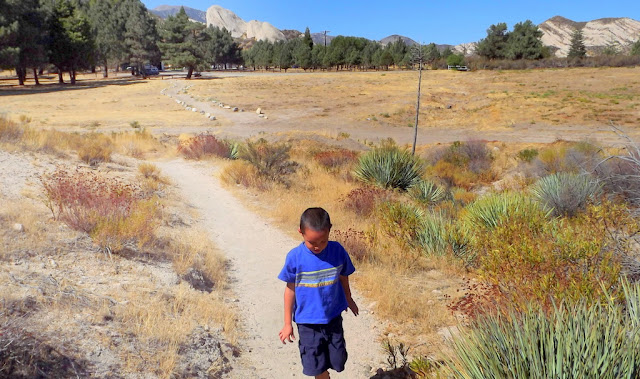
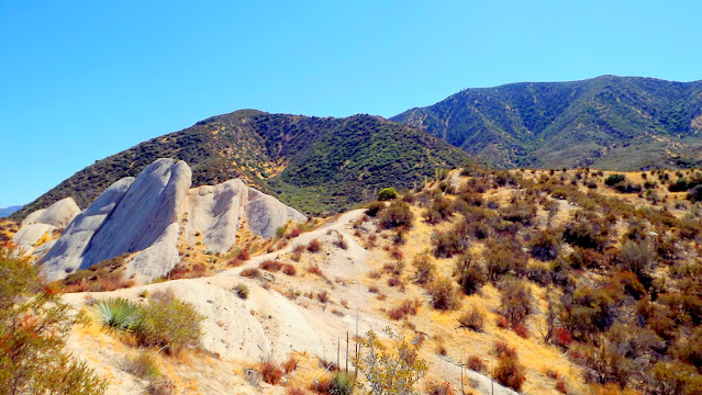
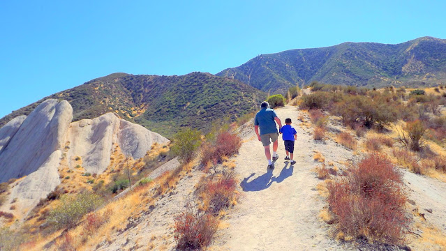
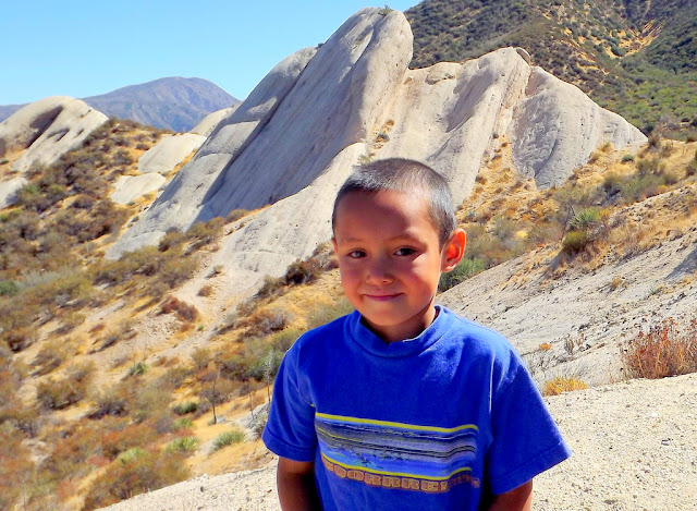
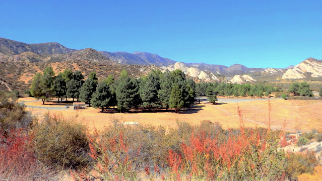
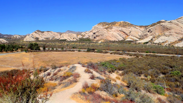
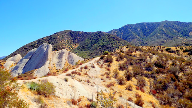
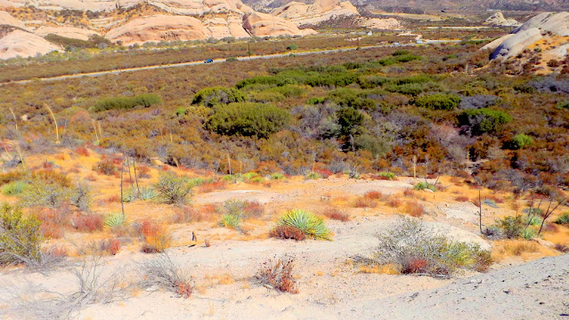
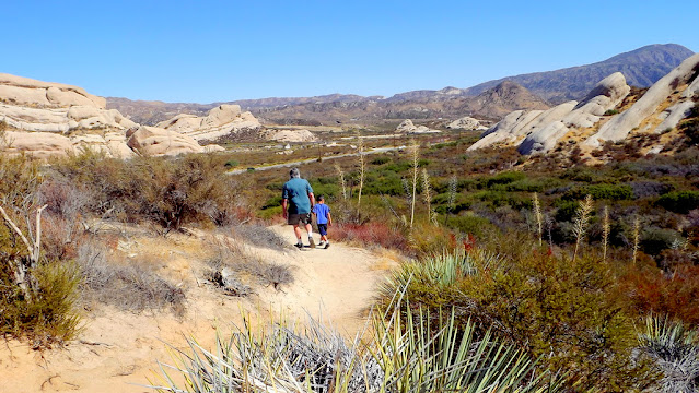
The Mormon Rocks, also known as the Rock Candy Mountains, are Miocene-age sandstone beds of the Cajon Formation. Compression and shearing along the San Andreas Fault have resulted in the tilting and re-exposure of these beds.
Beginning elevation is 3360 feet. This 1-mile loop trail was built by the Forest Service fire engine crew in 1975. It provides visitors with the chance to hike to a ridge to gain great views of the Mormon Rocks. These striking sandstone formations are riddled with small holes and caves; home of the owl, lizard, and pack rat. In the cliffs watch for White-throated Swifts, hawks, and ravens. In the chaparral look for coast horned lizards, California Thrashers, and Western Kingbirds. All along the trail there are excellent views of the Mormon Rocks and Cajon Pass area. An interpretive brochure may be available at the trailhead, or is also obtainable at the Lytle Creek Ranger Station
I read through them and realized I hadn't gotten back to thank you. Sometimes I get sidetracked or something in me is resisting even opening my laptop because I fall into a black hole.
Anyway, hope u are all enjoying January and the kind of weather you like - I don't care that much for snow but we did have a snow event that wasn't that bad here where I live. However, few towns up from me had a lot of damage from wind and snow and ice. Lake Arrowhead had so much damage from trees coming down and smashing into some homes. I don't know the extent of the damage just from what I'm reading on the mountain forums I go to on Facebook.
This time of year walking around the lake at about 4 o'clock gives almost too much color to take in with the reflections in the lake as the sun comes low and then starts to go down over the mountains. I took these photos yesterday when i was about done with my walk around the lake and heading back to my car.


We had a landslide which washed out part of hwy 18 coming up to the mountains. This route will be closed for awhile, some say weeks, other say months. But I think more damage will be done after this latest period of rain tonight. Half of the hwy at this point is washed out in a particular area.
Anyway we got out today to go to the store and because we have a 4 wheel drive we weren't worried about ice on the roads. It felt good getting out and taking a drive to see how it looks around town and the lake. First two heading out our road and down toward the lake and town. I love that house in the distance where you see just the roofs. It's always so pretty in every season.
In two or three days it shows clear skies so I'm anxious to get to the other towns/lakes in the area to see how high the water has risen in the lakes.
I would say out drought is done - The sierras have gotten so much snow and Pacific Northwest tons of rain and snow.


We always get out within two days of snow when everything is plowed to see how much the other towns got snow. We didn't get much only an inch or two but did get lots of rain. We checked out some of the nearby lakes and Lake Arrowhead is already showing less shoreline so the rain helped the levels. Lake Gregory is looking good and another storm will be coming about Wednesday of next week.
Here are a few photos of driving through Rim Forest, Running Springs, Sky Forest, and ArrowBear lake which i always make a point of seeing that small seasonal lake.
We are actually going somewhere today we haven't been in a year. TapRoom in Lake Arrowhead to get one of their pretzles and a beer. We go to Lake Arrowhead at least once a week for groceries at Staters but because of how crowded it is during different parts of the year we stay away from the restaurants. Beginning ChristmasVacation- for three weeks in the mountains it will be filled with people coming up for the snow. We will definitely stay home on the weekends.
Running Springs, Arrowbear and on up to Big Bear definitely has huge rocks along the highway. Not so much in Blue Jay and Lake Arrowhead area but the size of the rocks increase as you go up higher. I love the topography of the area and amazing to think of the forces of nature that created these mountains in the world and how different each mountain range looks with their trees and wildness.


